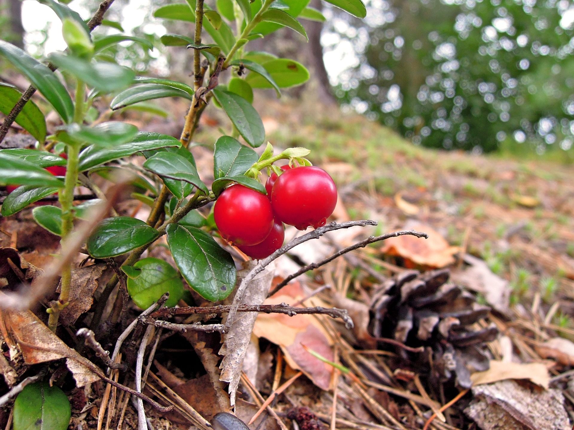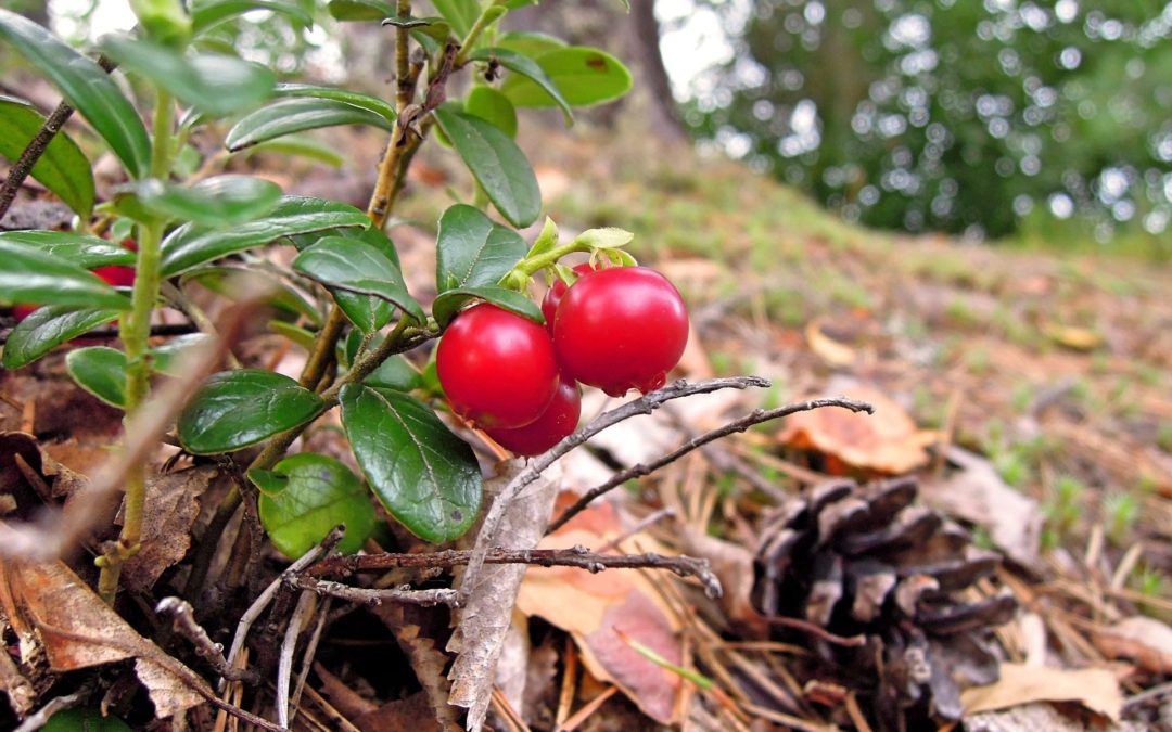
Knowing which spots have the most lingonberries and blueberries is both important for those who pick berries for their own household and for those who pick for sale. However, most people who pick berries know how difficult it can be to find the best berry spots. But a new technology developed by researchers from, among others, the Swedish University of Agricultural Sciences, SLU, can make it easier.
The researchers have used information from laser scanners on aircraft and surveys on the ground to create a model that shows how many berries are in the area. The model is based on comparisons between inventories of actual berry occurrence and different measures of forest properties that can be produced by remote sensing.
"We have used the National Forest Assessment's blueberry and lingonberry data from all over Sweden and combined these with various remote analysis-based data – such as airborne laser data, tree species information from SLU Skogkarta, national ground cover data and climate data – to create models for berry access", says SLU researcher Inka Bohlin , in a press release.
The idea is that the model will give us current maps that show where the largest quantities of berries are right now. In addition, forest owners who want to know how to plant their forests to stimulate berry harvests can use this model for guidance. It turns out, for example, that blueberries grow best in forests with a crown cover rate of about 50 percent, while lingonberry supply is best in sparser forests and on fellings with open crown cover.
The researchers now want to move on to further refine the model.
"Modeling berry supply is very complicated because many things affect berry production, such as the properties of the forest and the soil, weather, pollination, damage, previous forestry and so on. We can not yet take all these components into account, but it has been shown that it is already possible to use the model to find good carrying places in the forest", says Inka Bohlin.
Image: Pixabay / aileino


