To achieve the Paris Agreement's 1.5-degree target, the countries of the world must reduce their carbon dioxide emissions. One of the many challenges here is knowing exactly how big a country's emissions are.
Today, countries use activity data such as energy usage to calculate their emissions, but it is a blunt method. The quality of this data can vary greatly and different countries can include different processes in their calculations.
An alternative is to use satellites to get more accurate measurements of emissions and now researchers from Lund University, among others, have studied how good these measurements can be.
"As far as we know, this is the first study that shows that it is possible to verify emission data on a national scale with global satellite monitoring", says Marko Scholze, natural geography researcher at Lund University, in a press release.
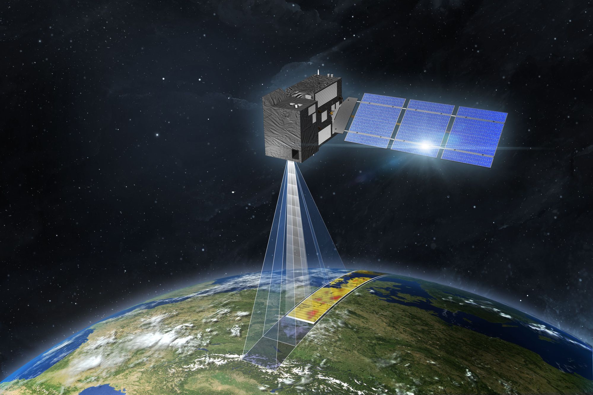
The plan is for the EU to launch more satellites from 2025 as part of the Copernicus in the Earth monitoring program. One of these, CO2M, will have a resolution of a few square kilometers and be able to register emissions. This means that it would be possible to measure emissions down to the city level and calculate a country's emissions in much more detail than today.
The researchers also hope to be able to distinguish between emissions caused by human activity (anthropogenic) and those derived from natural processes.
"We have developed a modeling system that can be used to estimate anthropogenic emissions. The system is very comprehensive and takes into account all the known inherent uncertainties that exist in satellite measurements", says Marko Scholze.
Read the full study here.
Image: ESA


